
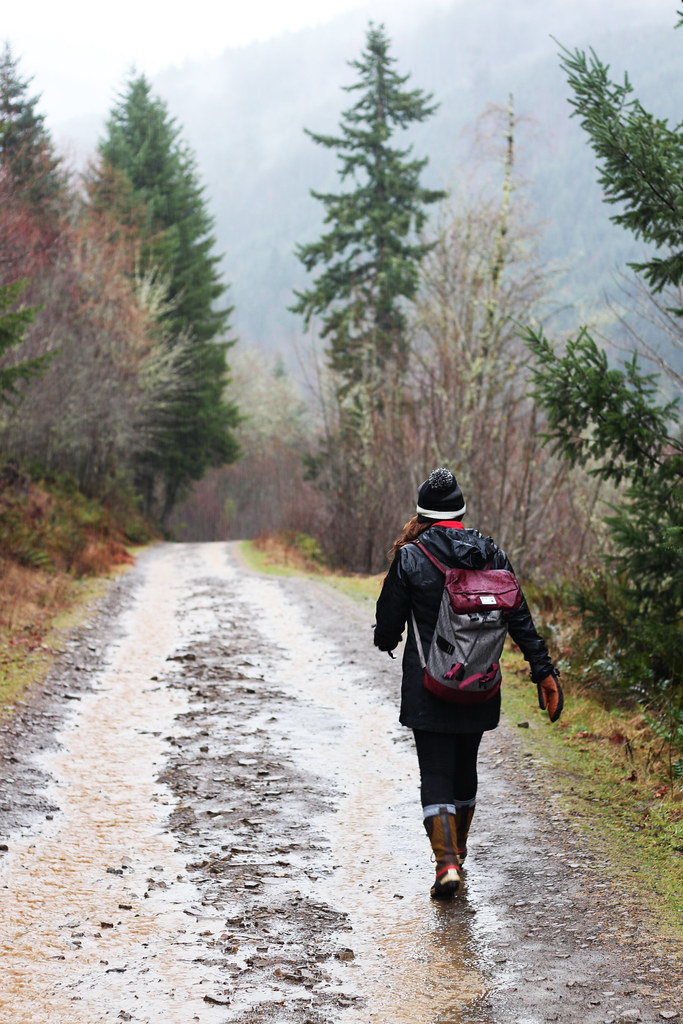
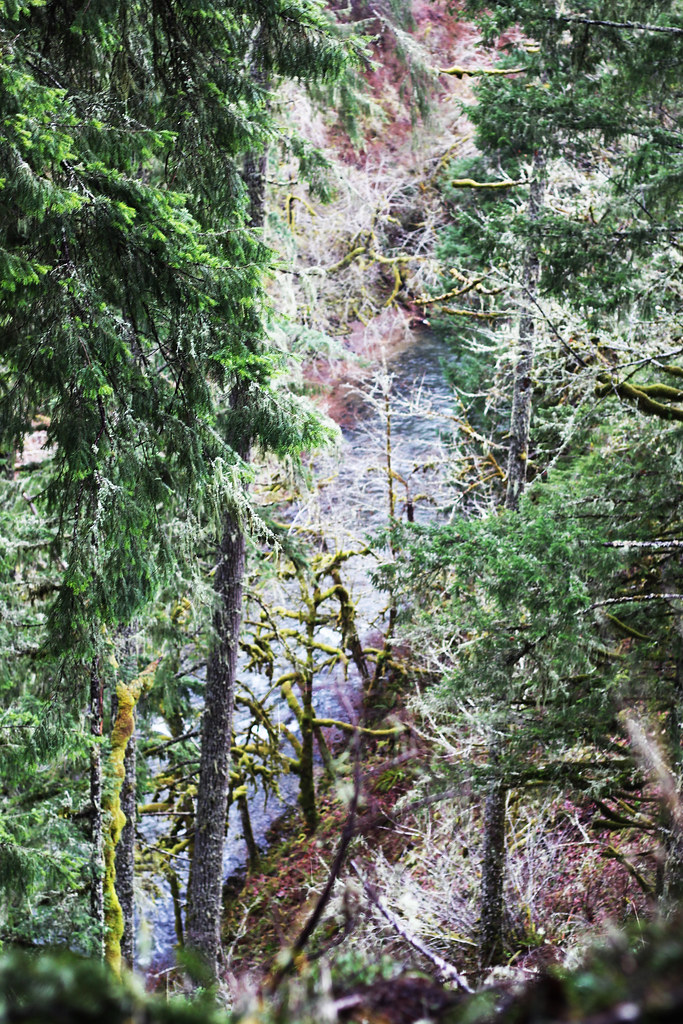

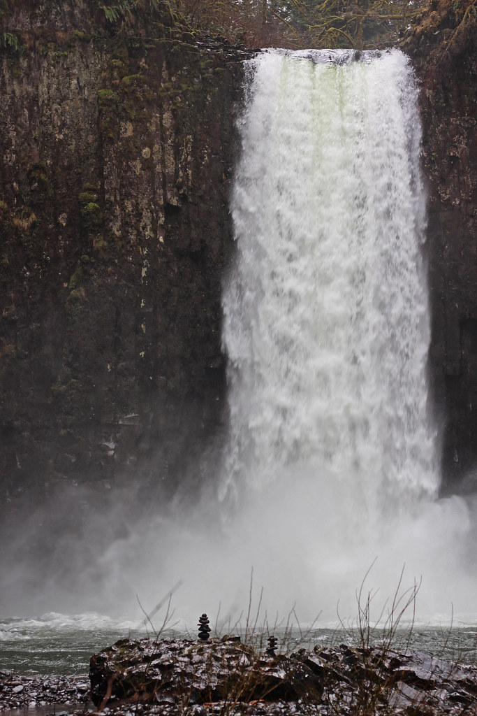
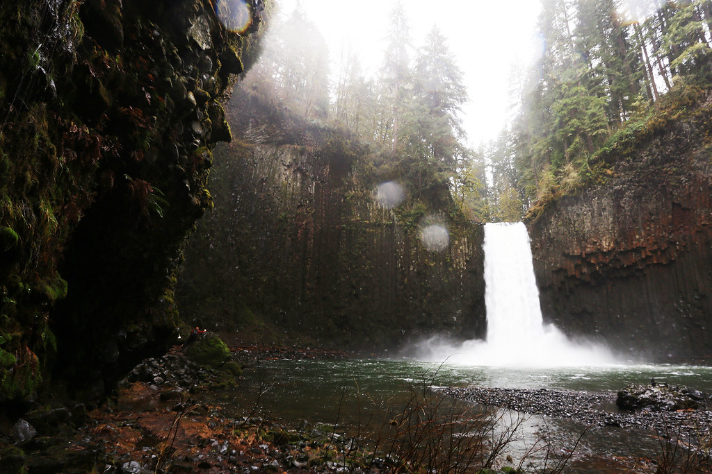
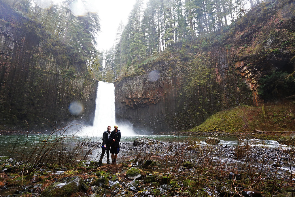
Last weekend, despite pouring rain, whipping wind, a 4-wheel-drive vehicle road that was washed out by a river of mud, a wrong turn down a wrong cliff, and becoming so covered in mud it's still underneath my fingernails, we made it to Abiqua Falls. Abiqua has always been one of those beautiful, recognizable Instagram-waterfalls of the Northwest. But we've always lacked the vehicle or the interest in driving two hours out to an unpaved forest road to find an unmarked trail to the falls. It's actually only a 0.25 mile walk to the falls, which seems really doable until you do it wrong.
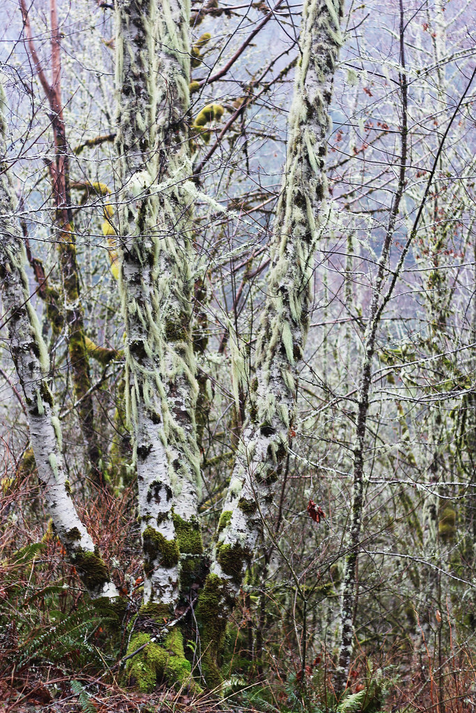
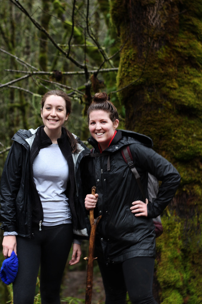
Though we hemmed and hawed for about a half of a week and most of Saturday morning due to the 100% chance of thunderstorms and 40 mph gusts, Rachel was kind enough to buckle us up into her boyfriend's truck and brave this rainy adventure. Abiqua is near Silver Falls State Park outside of Salem. You pass through Silverton, Oregon and keep driving for about an hour through pasture land and lichen covered trees, and pine forests until you reach Crooked Finger Road which leads to a bunch of ATV/off-road-vehicle recreation areas. From Crooked Finger Road, you take an unmarked, steep downhill road for about 2 miles until you reach the unmarked trailhead (there's a gate that prevents you from going any farther). We missed the turn off once, tracked back, and then maneuvered the truck down the washed out road for about a mile until we called that quits and decided to park at a pull out and walk the remaining downhill mile. By the time we hit the trailhead we were not only sopping wet, but already tired from a rainy walk in our waterproof boots.
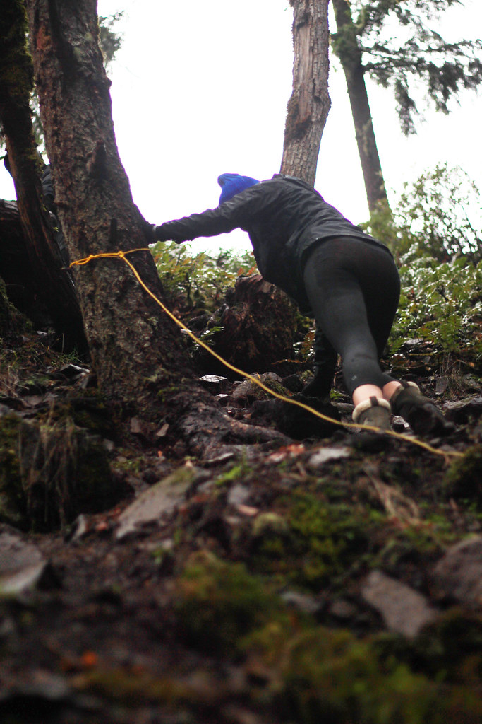
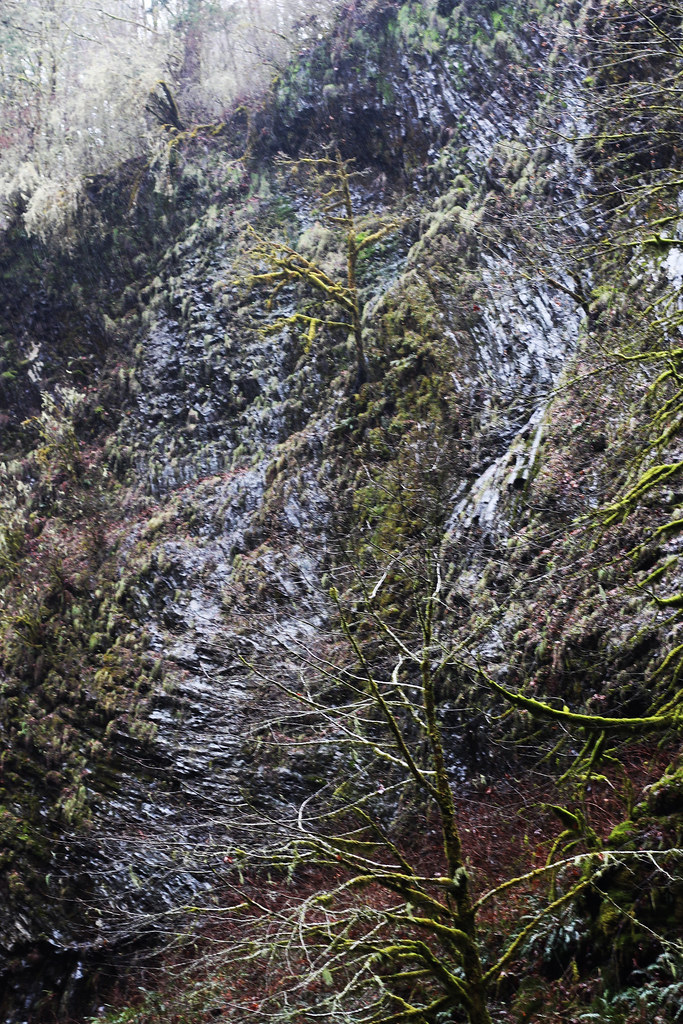
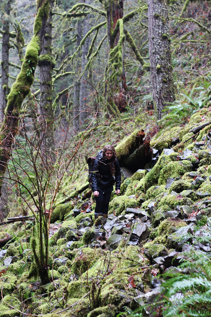
The trailhead, BE WARNED, is not marked. So when you reach the entrance to Abiqua you have a couple of choices of paths to take. You can head home (path 1), head straight (the path we took), or head to the left (the actual hike). We headed straight out into a clearing with a view of the river. From there a trail... trailed off over a cliff. It seemed wrong, but not knowing the difference, having 0 cell service, and feeling ready to get moving to keep warm and see some breathtaking falls, we took the path less traveled. Turns out that was a path less traveled for a reason. We began our descent down an unsafe, steep rocky hill covered in thick, wet mud, and really loose rocks that kept tumbling to the bottom of the 200' or so mud-cliff. There was a rope tied to a tree that we decided to use to go down backwards with. I made it half way down the hill (it's very kind to call it a hill) before I realized I wouldn't be able to make it back up and I had 0 interest in falling to my death. We all committed to giving up on the falls and felt a bit peeved that the Oregon Hikers website didn't warn that we'd be cliff-climbing.
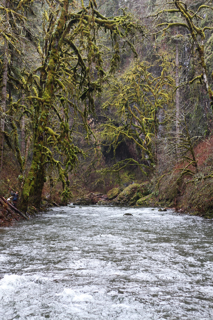
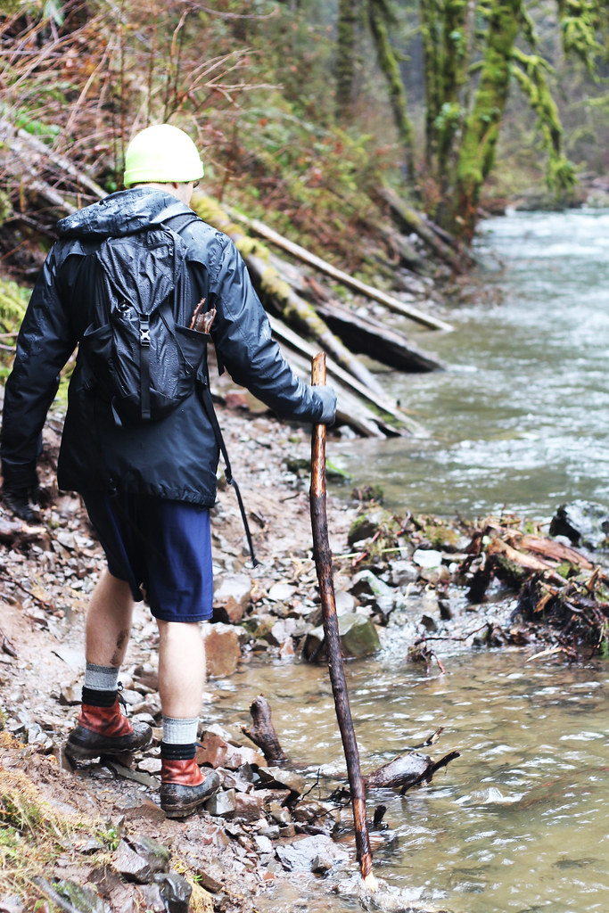
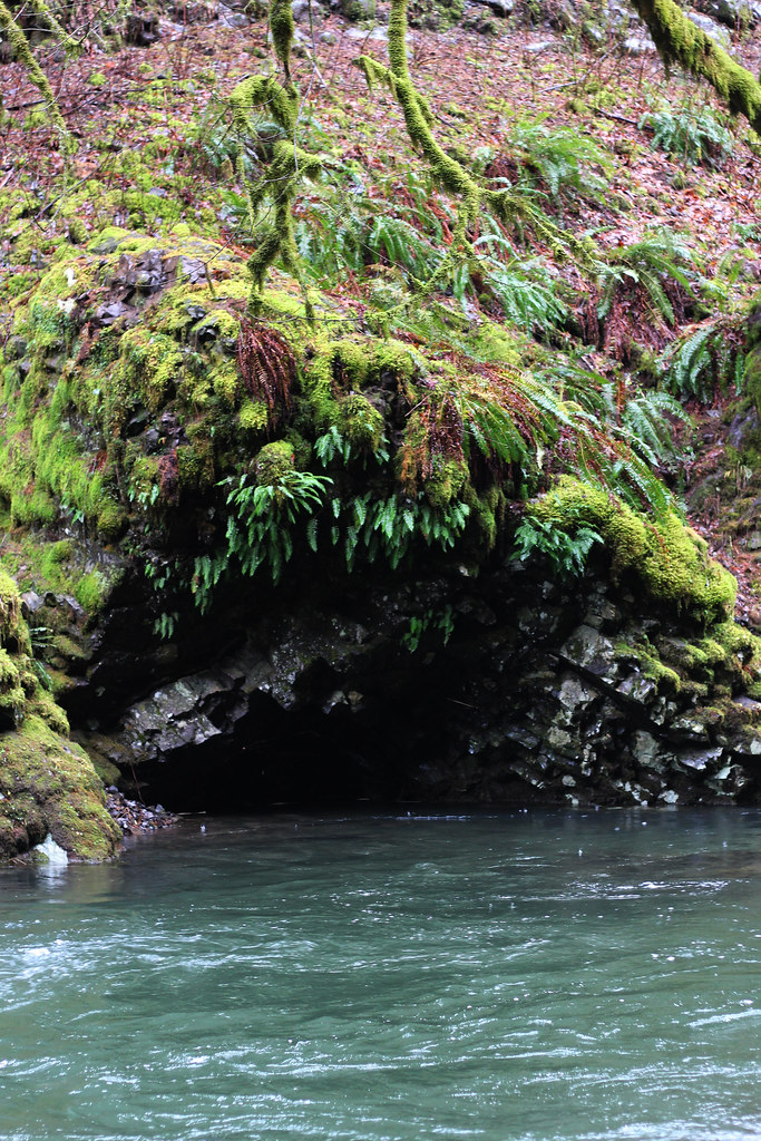
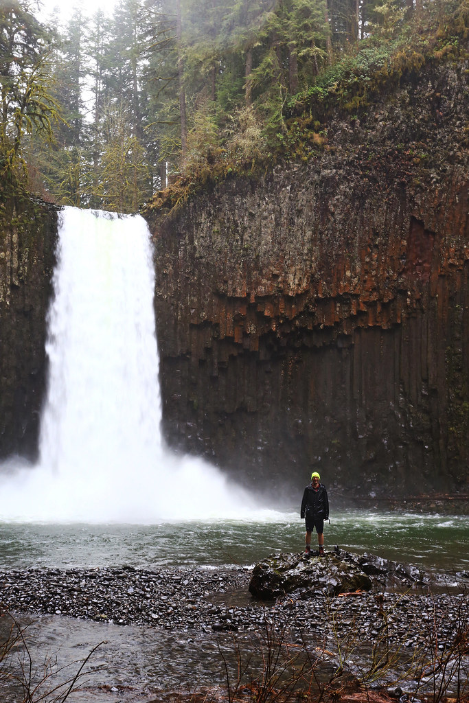
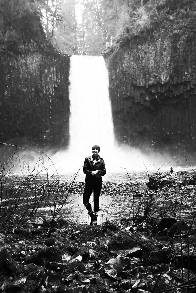
Once we exhausted all quad and shoulder effort using a rope to haul our bodies up about 100 feet for so, we discovered the actual trail. Rachel and I were shaking by the time we got down the significantly more accessible (though just as muddy) climb down to the falls. And then we trecked over some rocks on the bank of the stream. The falls were breathtaking, despite the arduous (user-error) hike. I'm not sure how we made it back out, up the muddy hike and then up another steep mile of road, but suffice it to say neither Rachel or I could move on Sunday.
Take the right turn, go in some sunshine, and I 100% recommend this hike. Just do not go down the steep cliff with the aid of only one small yellow rope.
No comments
Post a Comment